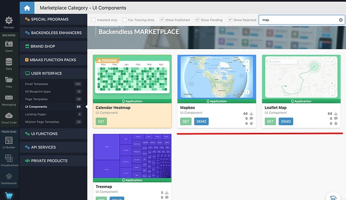
I’m currently doing the task “Use API to get data objects with location (POINT) data”
The ease with which the Google Maps JavaScript API integrates into Backendless is really great!
Even just playing with it in the Missions tutorials is fun.
But when I realized that a Google API license is going to be required, and will add to the cost of maintaining my app, I started to think about which map features I will actually need, and which ones I won’t. I think if I’m just visualizing locations and routes, it might be overkill to pay for Google’s API and all of its extra bells and whistles. I won’t need the satellite imagery overlay, or the traffic layer, etc.
I started looking into open source alternatives, and found that there are some:
3 open source alternatives to Google Maps API
TL;DR…
Three popular libraries are:
- Leaflet | License: BSD, Code: GitHub
- Modest Maps | License: BSD, Code: GitHub
- Polymaps | License: BSD, Code: GitHub
Others include:
OpenStreetMap was also mentioned here: 7 Best Google Maps API Alternatives to Know in 2024
Is there a way to integrate an open source map API into a Backendless app?
If so, what would that process look like?
Thanks.
